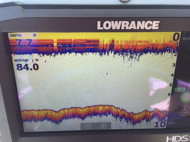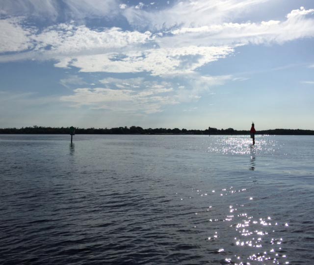
Ponce De Leon Channel Depths: Measured August 21, 2016
Ponce de Leon Channel is the primary channel to Charlotte Harbor from Punta Gorda Isles.
The only other exits are into the Peace River from the north side of this community. For the mariner and in particular the sailor, there are few other things more important than water depth. For sailors and large power boats that draft significant amounts of water buying a home to accommodate your craft is of the upmost importance. As a licensed captain and mariner, I periodically record depth soundings so that my customers can be assured of water depths.
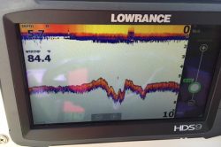
For additional information and different locations refer to my depth soundings that I measured in 2012 for Ponce de Leon Channel, Original Sailboat Section PGI, Alligator Creek, Burnt Store Isles and parts of Port Charlotte.
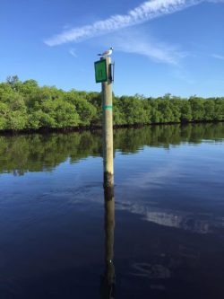
Ponce de Leon is a tidal environment with a normal tidal fluctuation of 2 feet. However, there are variations in tide as a function of wind direction, time of year, moon phase and sometimes the amount of rain fall. I have made every attempt to be accurate in my measurements but current and tide depths can very over time. The City of Punta Gorda is responsible for maintaining the canal depths and purports to maintain a depth of 6 feet, mean low water (MLW). To this end, there was a recent dredging effort in early August 2016. The work below confirms the overall 6 feet of depth the city strives for (and in a large part deeper than 6 feet) as was also measured 4 years earlier.
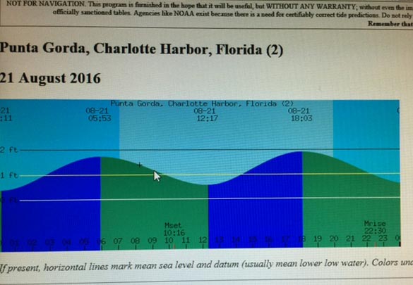
On August 21, 2016 I did sounding measurements to verify the channel depths after the dredging. I accounted for transducer placement on my 24’ center console and chose the middle of an outgoing tide to make the measurements. As it turned out, the tide was influenced by the last of a full moon phase (full moon July 19th) and I believe the tides were lower than predicted per the tide chart which is not uncommon. As such, these tides may be a considered a bit on the conservative side and closer to a low tide reading.
Also, the size of the transducer beam at a water depth of 6-8 feet is very small so you could read 6 feet in one spot and a foot over you might read 8 feet. For sure, the important depths are the minimal mitigating water depths as any sailboater will tell you! I did make an effort to stay in the center of the marked channel.
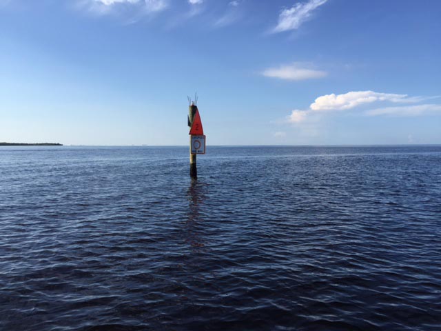
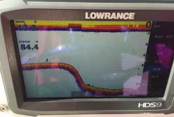
Here are there the readings with reference to time and the day channel marker where the reading was taken:
| Ponce de Leon Channel Depth Readings | ||
|---|---|---|
| TIME | DEPTH (Feet) | CHANNEL MARKER # |
| 9:09 | 8 | 2 |
| 9:10 | 9 | 4 |
| 9:11 | 8 | 5 |
| 9:14 | 9 | 8 |
| 9:18 | 7 | 9 |
| 9:20 | 6.5 | 10 |
| 9:22 | 7.5 | 12 |
| 9:23 | 7 | 13 |
| 9:41 | 6 to 8 | 17 (S- Bend Area) |
Please note that Ponce channel boat ride times to many destinations can be found here.
As you can see, soundings made on a lower tide phase (refer to tide chart above) generally show you have 6 feet at all times. On an extreme low tide, perhaps coupled with a full moon and/or high winds there may an occasion for some areas (however small) to have a little less than 6 feet and I would expect some variability in channel depth across the channel width. The dredging company would certainly try to maintain the minimum of 6 feet as they were contracted to do. It is interesting to note that I started these soundings around 9:00am and by 10:30am the tide was extremely low well below the stated low tide phase of 0.6 feet predicted at 12:17pm, two hours early. Again, the influence of the full moon two days before created this condition.
