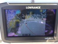
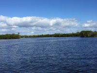
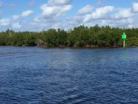
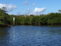
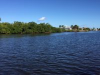
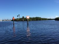
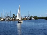
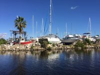
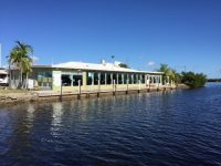
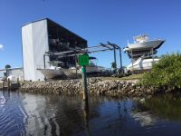
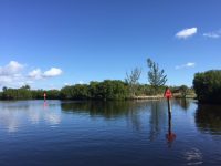
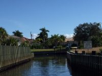
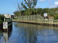
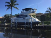
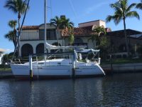
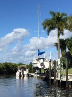
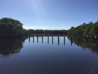
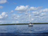
Important to every sailor and nearly every mariner is to know the water depths and areas of shallow water to avoid when underway. Even more important is to know the water depths (and boat ride times to harbor) before committing to purchase a waterfront home. I have been checking on water depths in canals and water ways connecting to Charlotte Harbor for 17 years and on December 16, 2018 took soundings in Alligator Creek from the entrance marker all the way into Burnt Store Isles. Earlier in the year dredging was completed in Alligator Creek and I verified a minimum of 6 feet mean low water the entire way, well up into Burnt Store Isles! Burnt Store Isles and Alligator Creek is a true sailboat waterfront area by southwest Florida standards. Many tidal areas in south Florida do not have this kind of water depth so we are lucky in Punta Gorda!
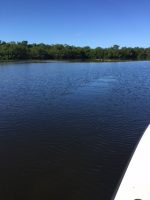
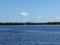
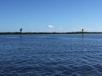
On December 16 the tide was low despite the tide chart indicating a higher tide. You will see pictures of a sand bar at the mouth of Alligator Creek near day Marker 17 with water lapping over it . Yes, it was pretty low for our sonar measurements. It is normal in our area for the actual tide not to follow the predicted tide and today the tide was predicted higher. My wife and I started at Day Marker 1 and went up and through the defunct lock system and a long way into Burnt Store Isles along the rim canal ending at a tidal creek which is just past the intersection of Elisa and Macedonia Drive. There are pilings at the entrance to the tidal creek to prevent boat passage as the water is too shallow for general navigation.
I have recorded sonar readings and collected other information/photos on Alligator Creek in 2012, again in 2016 and now at the end of 2018. You may want to refer back to that information. Each day I did this I captured different information that you might find interesting. One thing to keep in mind when looking back is the placement and order of navigation markers has changed in recent times. For instance, the Slow Speed marker used to be located at Marker 20 and now it’s at Marker 24.
There is a No Wake Zone (red Marker 24) well up inside Alligator Creek and the typical time to idle from there to Burnt Store Isles is 15-17 minutes at slow idle. I did a fast idle (7-8 mph) and dropped the boat ride time to 13 minutes from the No Wake Zone to Burnt Store Isles. This was probably a little faster than you should normally do but if I was running from a storm this would be a fast but respectful speed to my neighbors.
The boat ride time from the street intersection reference point of Elisa and Macedonia Drives to the Slow Speed Marker 24 was about 21 minutes on a fairly fast idle. This will help you better understand your boat ride times to harbor.
From the Slow Speed Marker 24 out to the end of the channel will only take you a minute under plane. If you were to idle on slow plane from Marker 24 to the entrance Marker Green #1 the approximate time would be 14 minutes.
One thing to keep in mind if comparing Punta Gorda Isles (PGI) boat ride times to Burnt Store Isles (BSI) is that where you end up on the harbor is different. Alligator Creek takes you out about a third of the way down the harbor. From PGI, you exit from Ponce Inlet or into the Peace River. You can figure 10-15 minutes EXTRA travel time to reach the same place on the harbor. With that said generally boat ride times are a bit longer in BSI but where you end up puts you further south on the harbor and closer to the Gulf.
| Alligator Creek Depth Readings | |
|---|---|
|
Marker |
Depth (in feet) |
|
1 Alligator Creek Channel |
7.5 |
|
3 |
8.1 |
|
9 |
6.3 |
|
11 |
8 |
|
13 |
7.6 |
|
15 |
8.1 |
|
17 |
7.2 |
|
18 |
8 |
|
21 |
9 |
|
23 |
6.8 |
|
24 Slow Speed Marker |
7.2 |
|
Red Metal Can |
8 |
|
25 |
7.1 |
|
26 |
8 |
|
28 |
8.1 |
|
30 |
7.4 |
|
32 |
8.5 |
|
33 |
7.6 |
|
34-A |
7.9 |
|
35 |
7.3 |
|
38 |
7.2 |
|
40 |
7.2 |
|
41 |
8 |
|
42 |
8.5 |
|
44 |
8 |
|
46 |
7.3 |
|
48 Entrance to BSI |
7.9 |

