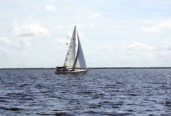
Every mariner has a different mindset on how long they are comfortable riding from their dock through the canals and to open water. In Charlotte County the canal boat ride times can vary from minutes to an hour depending on the location.
For sailors, depending on the nature of your sailing adventure, a long ride from the canal might not matter if you are going on a long voyage, and for some, it gives you time to organize on your way out to the harbor.
Trust me when I tell you that there are very few real estate agents who have any idea of what the true boat ride time is from the dock of their listing. As a licensed captain, I have always prided myself in wanting to know every aspect of the water and as a Realtor, every aspect of waterfront homes. I have spent a lot of boating time in the canals and have the water experience with boat ride times in Punta Gorda Isles, Burnt Store Isles and Port Charlotte canal systems.
To take it a step further I dedicated a day to ride the canals taking exact time readings at specific markers so that you as a boater considering a home purchase have solid information on boat ride times to your dock. Of course, there are variables in this data as we all have a different idea of idle speed and often, whenever possible we will push it a bit if the waterway is extra wide and the neighbors will not be affected by your wake. As a sailor you know that you can get away with pushing it more than a power boat because your hull design produces less wake.
On September 15, 2012 I took these canal time readings using my 24’ center console boat. The weather this day was sunny in the morning and cloudy in the afternoon with a 10-14 knot northeast wind. The tide was coming in all day. Refer to the tide chart as it shows the incoming tide this day.
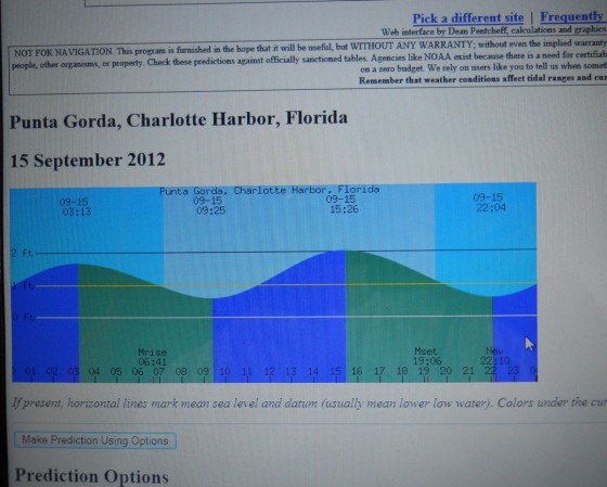
Other than the wind making it a bit difficult to write my notes, I would say the influence of the wind and tide was minor on my time readings. I also took Depth Soundings as well, knowing that this is extremely valuable information as the draft of your vessel is a most important consideration in the purchase of the boat and the purchase of your sailboat waterfront home.
Punta Gorda Isles — Ponce de Leon Channel Entrance
The canal system that feeds a lot of the Punta Gorda Isles community is from the Ponce de Leon channel. Refer to Canal Navigation to better understand the specific areas of different neighborhoods. From the Ponce de Leon Channel you can access the “Bird Section” via the rim canal which heads southward at the first intersection of the canals after meandering through a beautiful mangrove lined canal.
Once you enter the canal system heading eastward you can at the first opening proceed to your north eventually making way to the Colony Point canal however there is a bridge. This is the only canal system that connects from the Peace River to the Ponce Channel. I chose this canal system to measure times as a point of reference for any other canal. The time can be extrapolated by the distance measurements I have taken and applied to just about anywhere in PGI.
![]()
Ponce De Leon Channel Entrance
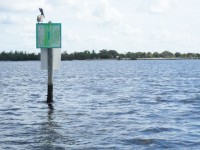
There are a stretch of day markers leading to the ponce canal starting, of course, with green Marker 1.
This channel runs through a shallow sandbar area and is very well marked. There is a public park with boat ramp at the land based entrance to the canal. Three minutes from M1 to about M9.
From the entrance of the Ponce channel M1 to the first intersection where the homes start with the east bound channel straight ahead and rim canal to your right at M17, Boat Ride Time was 7 minutes. This is about the half way point if you proceeded to the end of the canal system for Rio Grande Drive (north side).
With that said, from M1 to end of Rio Grande Drive is about 14-15 minutes.
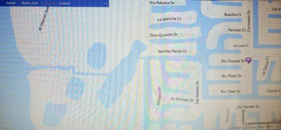
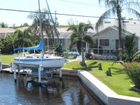
Proceeding from the canal intersection where the homes begin at Marker 17 and following the canal system leading to the bridge over West Marion near Colony Point your time frame is about 12 minutes.
Your approximate total time from M1, the outer marker to the ponce de leon channel to the bridge at West Marion near colony point is 19 minutes.
Be sure to look at the DEPTH SOUNDINGS that I took in this canal system.
Call or email The Captain to talk about your sailboat home waterfront purchase. Chuck’s number is 941-628-8040.
![]()
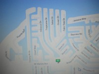
Punta Gorda Isles-Tarpon Cove Canal System
The travel time for the length of this canal is a good point of reference for making distance and time estimations for other canals as well.
Tarpon Cove which meets West Marion to the south is bounded by Tropicana Blvd to the east and Hibiscus Dr. to the west.
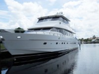
The entrance to this canal is marked with green day Marker 7. At the end of the canal is the community of Tarpon Cove which has a wide turning basin.
If you ever wondered if this canal had good water depth, take a look at the 80 foot yacht below located on this canal!
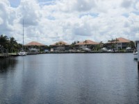
Travel time on this canal is around 7 minutes. Be sure to look at the DEPTH SOUNDINGS I took in this canal.
Call or email The Captain to talk about your sailboat home waterfront purchase. Chuck’s number is 941-628-8040.
![]()
Entrance to ISLES YACHT CLUB Canal System
The entrance to the Isles Yacht Club for the sailor begins at green day Marker 1 and proceeds through 5 sets of markers prior to entering the canal way.
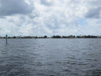
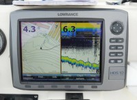
If you are referring to an electronic chart, the one I have identified a 5 foot hill in this channel. I can tell you that I read 8.5 feet in this location.
The open water channel time to the first seawall was only 2 minutes.
The boat ride time from the first seawall to the Isles Yacht Club was about 6 minutes making your total ride time about 8 minutes and easily under 10 minutes regardless of your speed.
There was very good water depth in this canal and I read 10 feet at the fuel dock.
![]()
Burnt Store Isles – via Alligator Creek
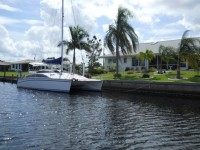
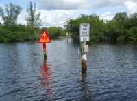
The outermost harbor entrance to Alligator Creek is very well marked and has a few turns before entering a beautiful mangrove lined creek.
You can run a boat on plane up until Marker 20 and from there it is a slow zone- minimum wake water way.
Alligator Creek will take you to many wonderful waterfront homes in the Rio Villa area and other small waterfront communities such as Sebastian Harbor.
The largest community that Alligator Creek takes you to is Burnt Store Isles.
The entrance to Burnt Store Isles from Alligator Creek is marked by red day Marker 20 which indicates a lock is ahead. This lock was built to create the canal systems but is no longer active and easily passable, one boat at a time.
The time frame from M20 (off plane maker) to M48 (lock entrance) was approximately 17 minutes.
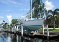
In truthfulness, I could have operated my vessel at a slower wake speed but had a boat pass me going considerably faster. As such, 15-20 minutes depending on how you run your boat.
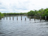
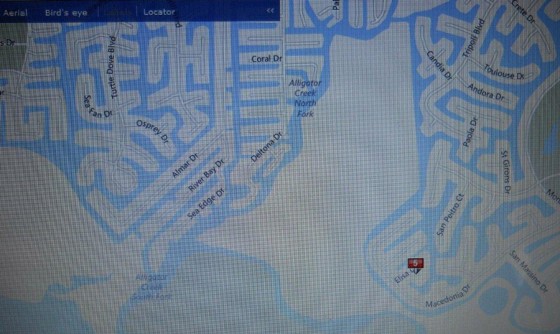
From ELISA Drive, where it meets the rim canal- Time from the lock is approximately 11 minutes. This is the general location of the barge canal, shown below, that is now blocked off with pilings. This canal system was used to take dredging material by barge out to the open waters of the harbor.
Total boat ride time from M20 (off plane marker) to the end of Elisa Drive, near barge canal: 17 minutes + 11 minutes= 31 minutes.
With the boat ride times measured above you should be easily be able to extrapolate and use to measure distance versus time to just about any canal front home.
Call or email The Captain to talk about your sailboat home waterfront purchase. Chuck’s number is 941-628-8040.
![]()
Port Charlotte Canal Systems
The original sailboat canal systems that run north to south off of Edgewater Drive offer very fast access to the harbor. Several years ago they were dredged to a mean low water of 5 feet. On the day I took time and depth measurements, I confirmed on many of the canals and the open water marked entrances that these water depths are still intact and many places deeper.
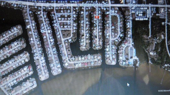
The canal system that is bordered by Roselle Ct. to the west and Gardner Dr. to the east has an open water well marked channel that is easy to navigate. From the outer most green day Marker 1 to the end of the “Roselle Canal” the boat ride time was about 7 minutes.
There was consistent water depth of about 6.0 feet or better on a tide that was about half way in. Our tide heights are generally around 2 feet high to low, with seasonal variations and variations caused by wind speed and direction.
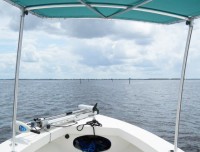
From the entrance to the “Roselle Canal” entrance, I followed the channel that runs parallel to Severin Road which maintained good water depth which eventually met up with the canal entrance to Edgewater Lake. Traveling the outer channel markers into the harbor the water depths were well maintained with only a short boat ride to deeper waters.
From this small bit of boat ride time information you can approximate other distances and times to other waterfront homes.
Call or email The Captain and let’s talk about your waterfront home purchase 941-628-8040.

